Slate Heritage Trail
Overview
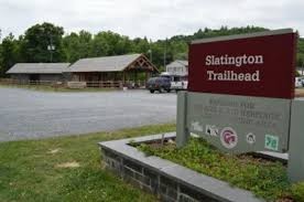
The Slate Heritage Trail, a 3.3 mile "Rails-to-Trails" project, utilizes the former Lehigh Valley Railroad right-of-way from a junction with the Delaware and Lehigh National Heritage Corridor Trail (D&L) in Slatington.
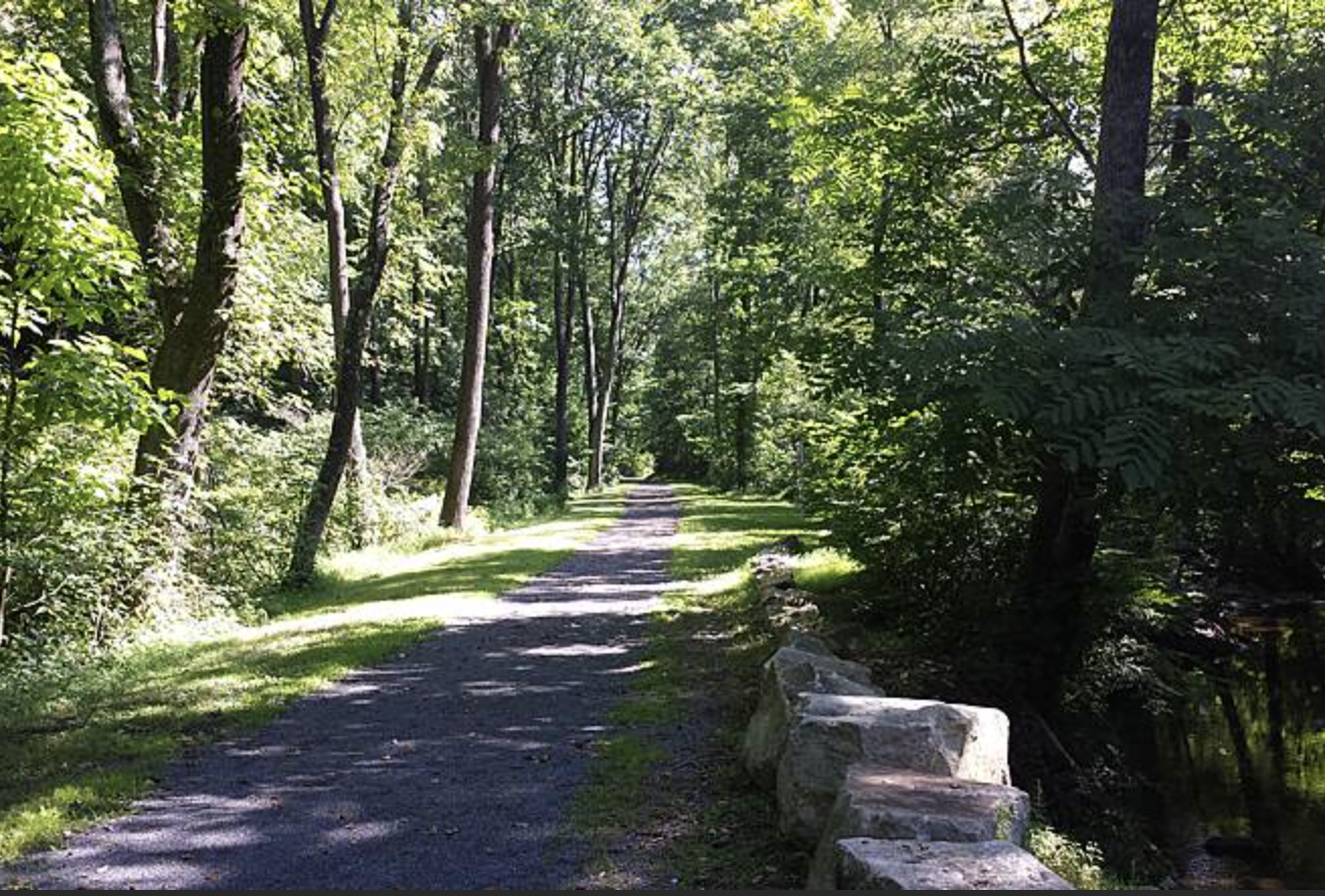
Trail-goers can learn about this history through interpretive panels along the way while enjoying the natural beauty of the area.The trail features a few unique structures using the area's key natural resource: a series of slate benches providing rest and reflection points along the path and a building made of slate, which houses restroom facilities near the Trout Creek crossing.
Activities: Walking, Biking, Fishing, Horseback Riding, Somewhat Handicap-Accessible, Pet-Friendly
Difficulty: Easy
Length: 3.3 mi
Surface: Asphalt and crushed stone
Elevation Gain: 128 ft
Route Type: Out and Back
Trail End Points
- Main and Railroad Streets, Slatington, PA
- 922 Main Street, Slatedale, PA
Access Points
- Main and Railroad Streets, Slatington
- 7th Street Slatington
- 7951 Center Street, Slatington
- 3922 Main Street, Slatedale)
Points of Interest along or Near the Trail: Covered bridge, slate buildings, abandoned “Bed Bug Gardens” ruins, Trout Creek, Bake Oven Knob (5 miles away), Lehigh Gap Nature Center (2 miles away), Appalachian Trail (2 miles away).